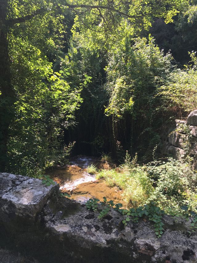
On this walk, you'll discover the restored old Boudoura washhouse and the ruins of the burnt-out Moulin, now disused. The forest is bordered to the north by the Siagnole, to the south by the Camiole and to the west by the Chautard. Que d'eau, Que d'eau!
Please note:
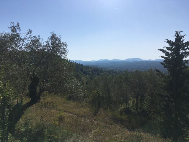
To the north of the Tuilerie or Tuilière plateau, and Lavagne, stretches the Foret Domaniale de Tourrettes, criss-crossed by numerous canals and aqueducts, underground or otherwise, riddled with manholes and water catchments: les Acates, le Jas Neuf, Fontanouille, and Font-Bouillen.
> STARTING POINT:
In the village, park at the Boudoura parking lot below the church.
> ROUTE:
1 - From the Boudoura parking lot, climb up to the wash-house.
2 - Climb to the right along a small asphalt road called chemin de la Tuilière.
3 - After the Chautard bridge, at the crossroads, stay on chemin de la Tuilière.
4 - At the crossroads, stay on the Chemin de la Tuilière, which bears right.
5 - Reach the plateau and turn right onto chemin de Lavagne, continuing for 800 m to a crow's-foot with fire hydrant and P.O. box no. 705.
6 - At P.O. box 705, turn left to join the forest track, which you take on the right.
After 500 m, pass the Talent fountain (former mayor of Tourrettes).
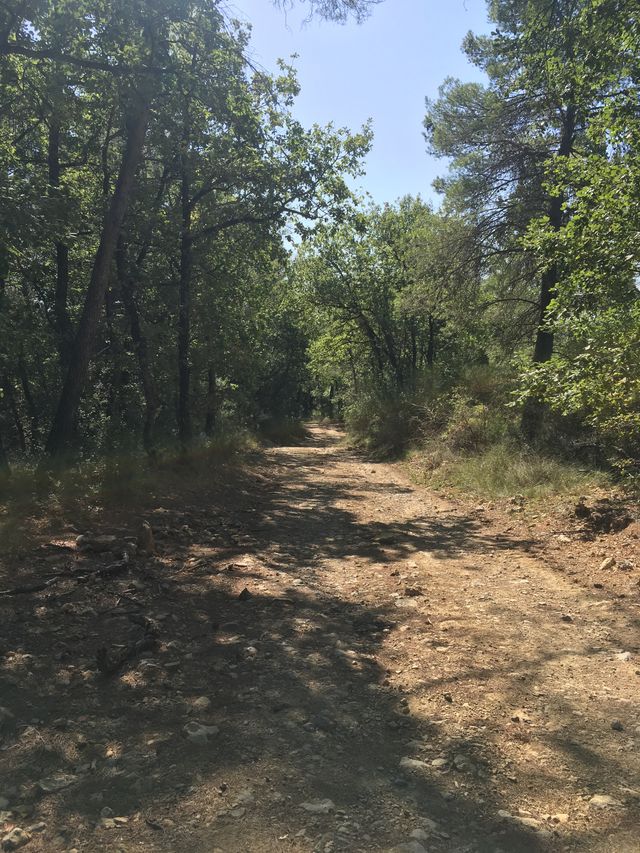
7 - At the crossroads of large tracks (Velnasques milestone), continue right on a dirt track which ends in a tarmac road.
8 - From the asphalt road, take the footpath straight ahead (level with a large oak tree on the right). The path runs alongside several houses and ends in a small tarmac road.
9 - At the end of the path, find a tarmac road called Chemin du vieux Moulin, which you should keep to the right.
10 - Continue along the Chemin du Vieux Moulin. Descend towards Le Chautard and the Vieux Moulin ruin, cross the first stone bridge and continue uphill.
11 - Before the bridge with metal gates, turn right and complete a very steep climb: 100 metres, staying on the tarmac road. Go past the cemetery, then right to the start parking lot.
VISITOR ALERT
During the summer months, please check the opening hours of the mountain ranges before setting off.
This circuit is located in the Plateau de Canjuers massif.
Consult the map updated daily by the prefecture: www.risque-prevention-incendie.fr/var/
TIPS AND SUGGESTIONS
The village of Tourrettes, awarded the Village de Caractère label in 2020, is also well worth a visit. This picturesque village offers you the chance to discover an astonishing open-air museum!
- Guided tour every day on request: 06 27 44 65 91
oui
oui
oui