Located in the Maures mountains, this hike takes you to the Lambert plateau and its menhirs, Madame de Sévigné's chestnut tree stump, the Destéou chasm, plantations of Douglas fir, eucalyptus and other remarkable species.
START / FINISH: Croix d'Anselme parking lot
MARKINGS: orange
Take the narrow orange-marked path through the oak forest, following the tie-rods.
Go slightly uphill through the heather and come out on your left onto the tarmac road.
After 400 m, turn right onto the "Pounches" DFCI track (with white barrier). Continue up this main track through the pine and holm oak forest. You can see the chestnut groves still in use. Picking is prohibited.
At the next junction, continue straight ahead on the main track, following the orange markings. Take advantage of this wide track to trot or gallop and admire the Maures landscape.
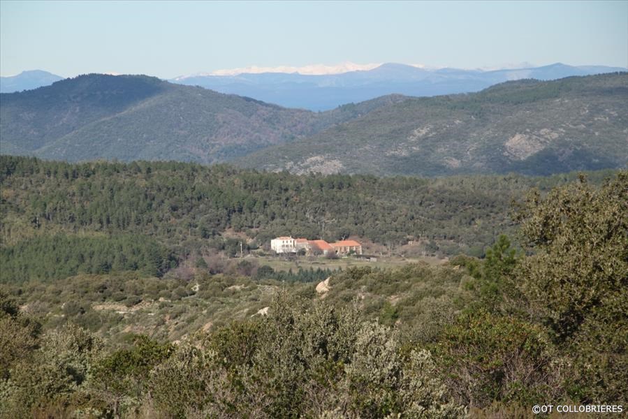
When you reach the ridges, look out for Notre-Dame des Anges on your left, then start to descend towards the Lambert plateau. On your right is a plantation of maritime pines, and on your left a forest of eucalyptus.
Following the fire of 1990, the Plateau Lambert was reforested by INRA on an experimental basis, using imported species (maritime pine, eucalyptus and Douglas fir, conifers up to 100 m high).
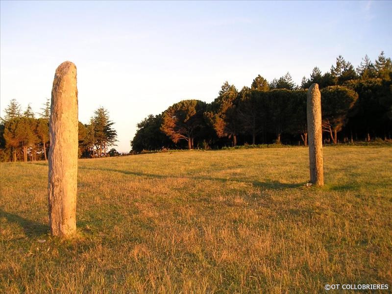
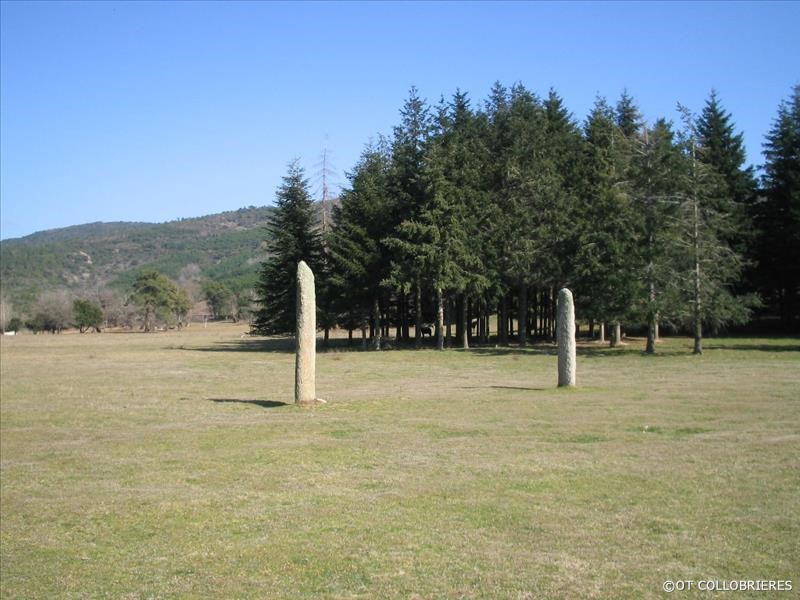
Start your descent over the Lambert plateau towards the large meadow where the menhirs are enthroned.
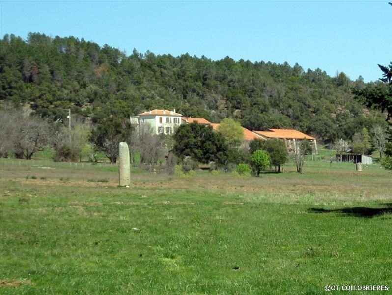
Take the track leading down to the tarmac road. Turn right and pass the forest house.
On your left is the Lamberts field. Here you can discover the megalithic site of Plateau Lambert, where 2 Neolithic menhirs, each around 3 m high, have been erected. Fascinating and mysterious at the same time, they are the tallest in Provence and are classified as historic monuments. As you walk along the menhir field, look out for a cedar forest on your right. At the end of this path, you'll find a number of tethering bars where you can take a break with your mounts.
Return to the trail on your left, at the directional arrow post. Leave the field of menhirs on your left and take a short descent through a forest of oak and chestnut trees.
At the intersection, turn right at the hunters' hut. Walk past this hut and continue along a lovely sunny track where you can trot and gallop. You'll find Notre-Dame des Anges on your left.
At the next junction, go straight ahead on the main path, following the signs.
Translated with www.DeepL.com/Translator (free version)
At the next directional arrow post, turn left, following the Valescure trail.
Go downhill towards the Verne river, which you cross. Turn left along the D214 for 200 m, then take the small parallel path on the left for 800 m. You've now reached the starting parking lot at the Croix d'Anselme.
Oui
Non
Non
Non